Walk-in for GIS Profile from 20th-22nd October from 10 AM-1 PM
mapmyindia Delhi, Delhi
We are looking for freshers and experienced candidates who are looking for job in GIS profile.
The role will involve the following responsibilities:
Regular categorization of information, Data Formatting and cleaning.
Data Geometry Verification.
Data Verification and validation using internet & other sources.
Should be efficient in MS Access, Office, Excel, and PowerPoint.
Good communication skills.
Should be a graduate.
The candidates who have already appeared for the interview within 6 months are not eligible.
Kindly go through the company profile before appearing for the interview.
Venue:
MapmyIndia
CE Info Systems Pvt Ltd
Plot No-68, Okhla Phase-3,
Nearest metro- Govindpuri
New Delhi.
Time- 10 AM- 1 PM
Salary: Not Disclosed by Recruiter
Keyskills: Excel Powerpoint MS Access Internet gis gis executive gis engineer arcgis georeferencing digitization data extraction
Desired Profile
Education: UG -Any Graduate - Any Specialization, Graduation Not Required
PG - Any Postgraduate, Post Graduation Not Required
Doctorate - Any Doctorate - Any Specialization, Doctorate Not Required
--------------------------------------------------------------------------------------------------------------
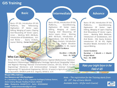
Note :- Short Term GIS and Remote Sensing Training in Available in Bhopal Madhya Pradesh.
mapmyindia Delhi, Delhi
We are looking for freshers and experienced candidates who are looking for job in GIS profile.
The role will involve the following responsibilities:
Regular categorization of information, Data Formatting and cleaning.
Data Geometry Verification.
Data Verification and validation using internet & other sources.
Should be efficient in MS Access, Office, Excel, and PowerPoint.
Good communication skills.
Should be a graduate.
The candidates who have already appeared for the interview within 6 months are not eligible.
Kindly go through the company profile before appearing for the interview.
Venue:
MapmyIndia
CE Info Systems Pvt Ltd
Plot No-68, Okhla Phase-3,
Nearest metro- Govindpuri
New Delhi.
Time- 10 AM- 1 PM
Salary: Not Disclosed by Recruiter
Keyskills: Excel Powerpoint MS Access Internet gis gis executive gis engineer arcgis georeferencing digitization data extraction
Desired Profile
Education: UG -Any Graduate - Any Specialization, Graduation Not Required
PG - Any Postgraduate, Post Graduation Not Required
Doctorate - Any Doctorate - Any Specialization, Doctorate Not Required
--------------------------------------------------------------------------------------------------------------
Note :- Short Term GIS and Remote Sensing Training in Available in Bhopal Madhya Pradesh.
-----------------------------------------------------------------------------------------------------------------------------------------------