AutoCAD Operator
SKP Projects Pvt. Ltd. - Vadodara Makarpura, Gujarat
Download, convert and upload GIS data available in existing GIS data
Testing & validation of existing GIS map data with as built drawings (Auto cad Drawings) & Google map
Inserting additional data in excels with respect to GIS object ID
Collecting & Validating GIS data from field engineers in form of auto cad files/ Microsoft excel
Identifying and correcting errors or omissions in the data
Perform GIS data quality testing, including reviewing data for completeness and accuracy
Testing & validation of existing GIS map data with as built drawings (Auto cad Drawings)
Communicate with the team to understand technical specifications of the Pipeline assets
Pipe assets mapping in GIS
Candidate should possess an understanding of land survey, topographical drawings, Longitudinal Section & Cross section
Key Skills : AutoCad Civil 3D (Latest Version), Google Earth, Microsoft Office, Global Mapper
Job Type: Full-time
Note :- Please review all application instructions before applying to SKP Projects Pvt. Ltd..
----------------------------------------------------------------------------------------------------
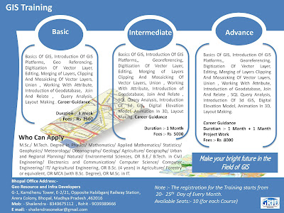
Note :- Short Term GIS and Remote Sensing Training in Available in Bhopal Madhya Pradesh..