Position :
Engineer (GIS Development -Open Source– Production Support)
Job Description:
The GIS Developer (Production Support) is responsible for providing solution to the Operational Issues/Bugs from Production/Live Sites within SLA defined by the Origination.
This position requires a strong understanding GIS domain, modern web design and development practices in the context editing and presentation of spatial data on the web.
Should have strong analytical skills to analysis the bugs/problem reported from production/Live sites.
Specific Duties and Responsibilities:
- Providing solution to the Operational Issues/Bugs from Production/Live Sites within SLA defined by the Origination
- QC/QA of the GIS data received from Department.
- Uploading of shape files in Oracle spatial.
- Publish and consume web GIS services (WMS,WFS ,WCS) using GeoServer or similar large-scale open source map server .
- Participate actively in the design, development, and management of associated RDBMSs (preferably Oracle Spatial)
- Proactively adhere to the quality policies set forth by the Quality team
- Ensure that Web GIS applications are adheres the requirement of customer
Desired Skill Set and Experience:
- Graduate in Computer Science, Engineering, Math, Geography or a related field
- 3+ years experience with web GIS Development using JAVA ,geotools ,GeoServer
- 1+ years experience with web scripting languages and technologies such as Javascript ,AJAX, jQuery ,REST, XML, JSON, etc.
- 1+ years experience with spatial RDBMSs, especially Oracle Spatial, PostgreSQL /PostGIS.
- Ability to root cause and resolve issues
- Ability to work independently toward a team goal
- May require some domestic travel
- Comfort and experience with Windows and Unix-based (Unix, Mac, Linux) operating systems
- Proven analytical, communication and organizational skills
Job Type: Full-time
Local candidates only:
Required experience:
- Java/Oracle / Open GIS Technologies: 3 years
Required education:
Please review all application instructions before applying to IL&FS Technologies Ltd.
______________________________________________________________________________
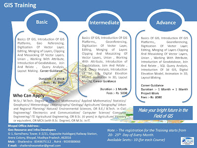
Note :- Short Term GIS and Remote Sensing Training in Available in Bhopal Madhya Pradesh..
|

No comments:
Post a Comment